
Contact
- Address:
Itinerary
- Distance : 14 km
- Dénivelé total : 392 m
- Dénivelé positif maximal : 53 m
- Dénivelé négatif maximal : -79 m
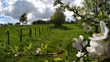
Champcharme Orchard Trail – 1 hour 20 minutes – Moderate – 14km Start and finish: Church square in Maray-en-Othe. It is strongly advised against using the trails during hunting season. View and download the trail map by clicking on this link: https://www.komoot.com/fr-fr/tour/3129254935?share_token=aj43zanUhv39dYlVGNe4YqilY29k75AFTNvDToM9QU2z1VbsdH&ref=wtd&t_s=referral&t_cid=route_share&t_ref_username=othearmance